
 French
 Deutsch
Billy Goat Trail
| Billy Goat Trail | |
|---|---|
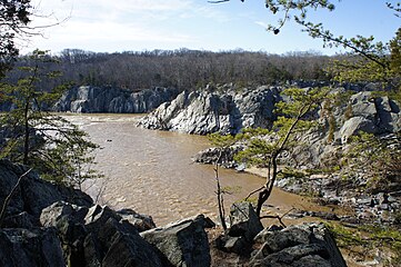
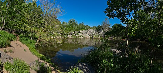
 Scrambling over boulders on Section A. Mather Gorge at left. | |
| Length | 4.7 mi (7.6 km) |
| Location | Montgomery County, Maryland, United States |
| Trailheads | C&O Canal Bear Island |
| Use | Hiking Trail Running |
| Difficulty | Strenuous (Section A) Moderate (Section B) Easy (Section C) |
| Season | All year |
| Sights | Chesapeake and Ohio Canal National Historical Park |
38°59′38″N 77°14′45″W / 38.9938°N 77.2458°W
The Billy Goat Trail is a 4.7-mile (7.6 km) hiking trail that follows a path between the C&O Canal and the Potomac River within the Chesapeake and Ohio Canal National Historical Park near the Great Falls in Montgomery County, Maryland. The trail has three sections: Section A, the northernmost, is 1.7 miles (2.7 km); Section B is 1.4 miles (2.3 km); and Section C, the southernmost, is 1.6 miles (2.6 km)
Description[edit]
The Billy Goat Trail was laid out by the YMCA Triangle Club in 1919.[1]
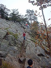
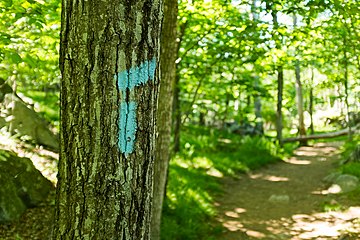
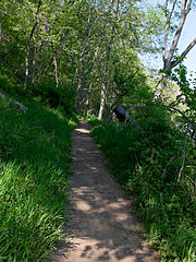
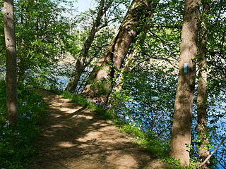
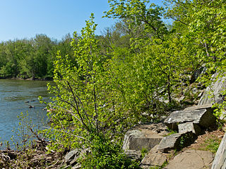
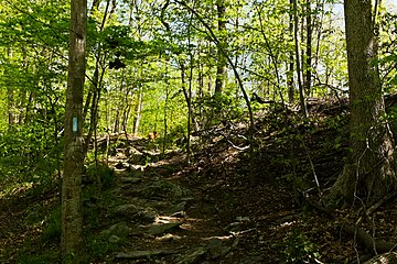
Section A of the trail, by far the most popular, is on Bear Island and traverses rough and rocky terrain, including a steep climb along a cliff face along the Potomac River's Mather Gorge. At another point in the trail, hikers are required to scramble over and around huge boulders. Sections B and C are less strenuous; section B requires only one brief scramble, and section C has none. Most of the trail is well marked with light blue trail blazes.
Currently, Section B is closed due to trail damage.[2]
Section A is best accessed from the Great Falls Tavern Visitor Center.[3] Section B and Section C are best accessed from the Carderock Recreation Area. All sections of the trail are free, although an entrance fee ($20 per car in 2021) is charged when entering and parking near the Great Falls Tavern Visitor Center. No fee is charged when parking near Carderock. Dogs are not allowed on Section A, nor on Olmsted Island (location of the Great Falls overlook), but are permitted on a leash at all times everywhere else in the park. It takes about 2 1/2 hours to walk the Section A loop from the parking lot.
The three sections of the trail do not directly connect with each other, but are connected to each other by the towpath along the C&O Canal. The end point of section C is about 2.75 miles (4.4 km) southeast along the towpath from the starting point of section A.
Section A gallery[edit]
Pictures are approximately upstream to downstream on the trail.
-
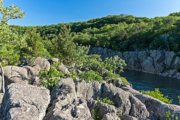
 River View from trail
 -
 View of the Potomac River from Trail (via Bear Island)
 -
 View of Pothole Alley, with Mather Gorge
 -
 Pothole Alley, a little to the south of the first view
 -
 Steep cliff face on Section A of the trail
 -
 View down the cliff face
 -
 Marker 2, about halfway through the trail. To the left goes the Emergency Exit trail
 -
 View of Purplehorse "Beach" from above
 -
 The Purplehorse "Beach". No swimming here: river is dangerous and people drown.
 -
 Beaver Pond along the trail
 -
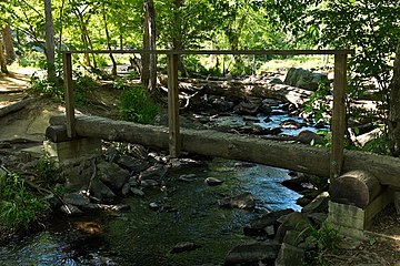 Log bridge at Marker 3
 -
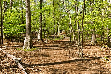
 View from the trail
 -
 Trail crosses stream near downstream end
 -
 Trail goes to right here


.jpg)


Section B gallery[edit]
-
 Downstream entrance of the B trail, just above Carderock
 -
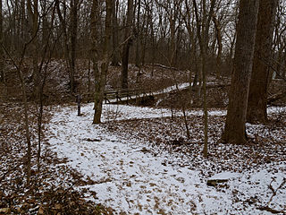
 B trail in winter
 -
 B trail, near the downstream entrance
 -
 B trail
 -
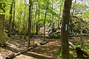
 B trail, Potomac River on the right
 -
 B trail, Potomac River to the right, through the trees
 -
 B trail crossing a small gully with log bridge
 -
 The B trail crosses a small stream
 -
 View of Potomac river from B trail
 -
 Upstream entrance of the B trail, with the C&O Canal towpath in the background


Section C gallery[edit]
-
 C section, near upstream end at canal
 -
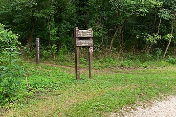
 One of the approaches to the C trail, from the western parking lot
 -
 Part of the C trail in Carderock
 -
 Cliffs of Billy Goat C trail, a favorite spot of rock climbers
 -
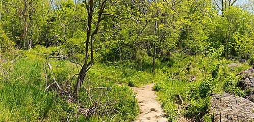
 Billy Goat C trail, near the midpoint
 -
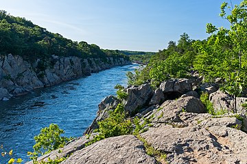
 View of Potomac River from C trail
 -
 C trail uses a small bridge to cross
 -
 Billy Goat C Trail
 -
 Bridge over stream. This is near the southernmost parking lot.
 -
 Trail crosses a small stream
 -
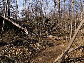
 A washout in the trail. Detour goes to the left.
 -
 Another look during the summer
 -
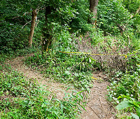
 Tricky spot in the C trail. Trail takes the left fork, but because it isn't marked, people often go straight and right off the trail. This is near the downstream end of the trail.
 -
 Another view of tricky spot. In summer the vegetation can get pretty high.
 -
 Downstream entrance, near pivot bridge remains on canal


.jpg)


References[edit]
- ^ Hahn, Thomas (1993). Towpath guide to the Chesapeake & Ohio Canal; Georgetown Tidelock to Cumberland. American Canal and Transportation Center. p. 40. ISBN 9780933788664.
- ^ "Current Park Conditions - Chesapeake & Ohio Canal National Historical Park (U.S. National Park Service)".
- ^ "Great Falls Tavern Visitor Center - Chesapeake & Ohio Canal National Historical Park (U.S. National Park Service)". www.nps.gov. U.S. National Park Service. Retrieved July 22, 2019.
External links[edit]
- Great Falls Trail Descriptions (PDF) from the National Park Service website
- Great Falls Trail Map (PDF), Page 1 and Page 2 from the National Park Service website
- The Washington Post. City Guide: Billy Goat Trail