
 French
 Deutsch
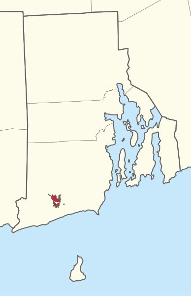
File:2415R Narragansett Reservation Locator Map.svg

Size of this PNG preview of this SVG file: 388 × 600 pixels. Other resolutions: 155 × 240 pixels | 310 × 480 pixels | 497 × 768 pixels | 662 × 1,024 pixels | 1,325 × 2,048 pixels | 689 × 1,065 pixels.
Original file (SVG file, nominally 689 × 1,065 pixels, file size: 226 KB)
| This is a file from the Wikimedia Commons. Information from its description page there is shown below. Commons is a freely licensed media file repository. You can help. |
Summary
| Description | English: A series of United States Indian reservation locator maps, constructed mostly with Tiger/LINE and BIA open data, with supplements from the Canadian and Mexican censuses. Generated on July 24, 2019. Data sources accessed between 2017-2019. |
| Date | |
| Source | Own work |
| Author | awmcphee |
Licensing
I, the copyright holder of this work, hereby publish it under the following license:
| This file is made available under the Creative Commons CC0 1.0 Universal Public Domain Dedication. | |
| The person who associated a work with this deed has dedicated the work to the public domain by waiving all of their rights to the work worldwide under copyright law, including all related and neighboring rights, to the extent allowed by law. You can copy, modify, distribute and perform the work, even for commercial purposes, all without asking permission.
|
File history
Click on a date/time to view the file as it appeared at that time.
| Date/Time | Thumbnail | Dimensions | User | Comment | |
|---|---|---|---|---|---|
| current | 19:37, 24 July 2019 | | 689 × 1,065 (226 KB) | Awmcphee | User created page with UploadWizard |
File usage
The following pages on the English Wikipedia use this file (pages on other projects are not listed):