
 French
 Deutsch
File:Pine trees growing on the slope of Cinder Cone.jpg
Size of this preview: 800 × 571 pixels. Other resolutions: 320 × 229 pixels | 640 × 457 pixels | 1,024 × 731 pixels | 1,280 × 914 pixels | 2,560 × 1,829 pixels | 4,046 × 2,890 pixels.
Original file (4,046 × 2,890 pixels, file size: 10.71 MB, MIME type: image/jpeg)
| This is a file from the Wikimedia Commons. Information from its description page there is shown below. Commons is a freely licensed media file repository. You can help. |
Summary
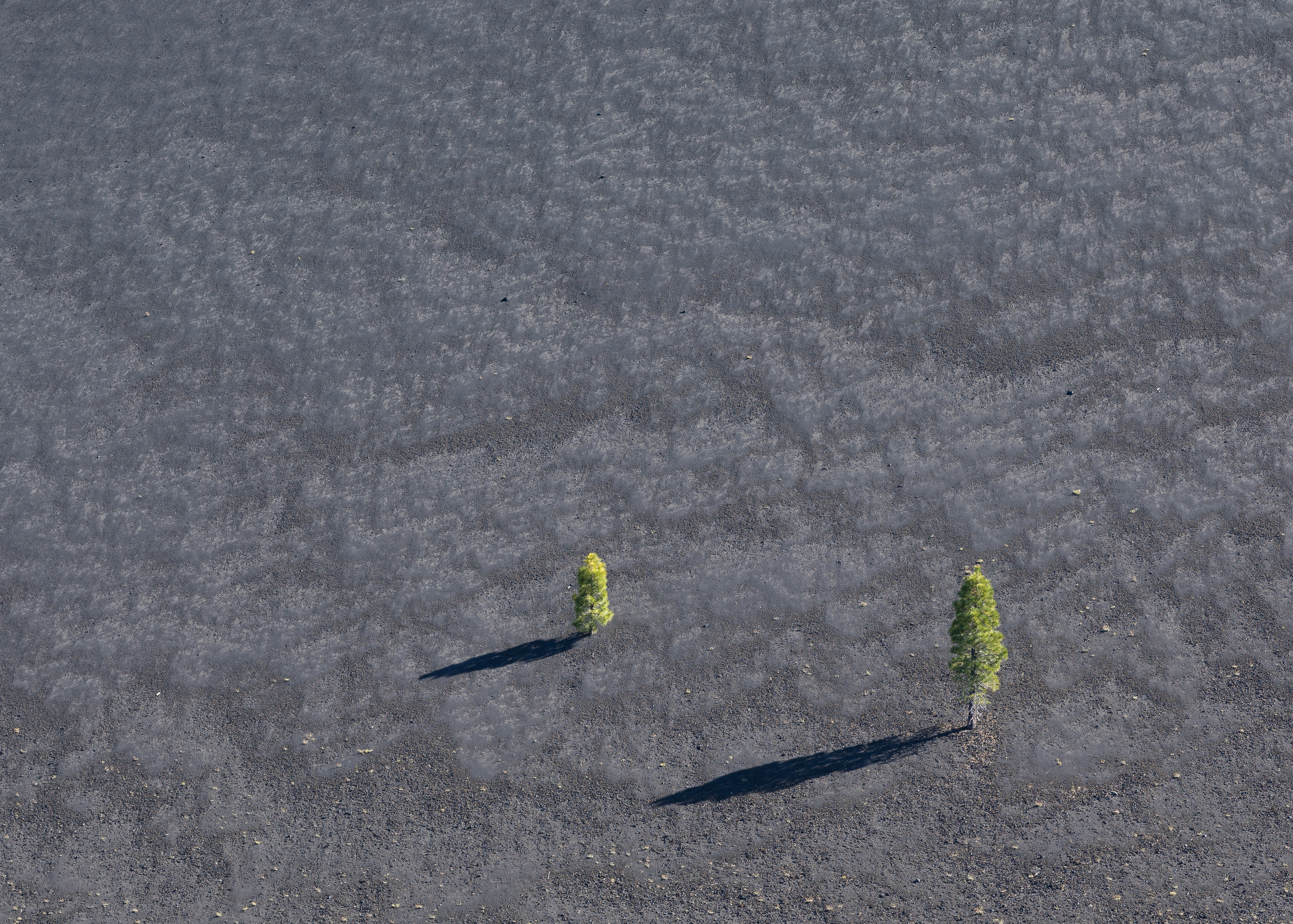
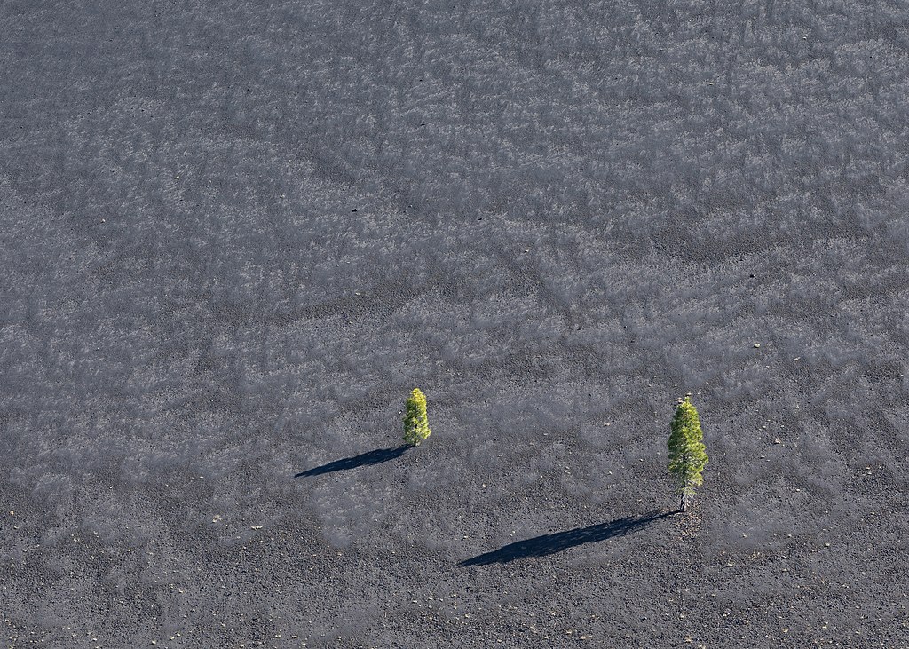
| Description | English: Pine trees growing on the slope of Cinder Cone, a 700-foot-high volcanic cone of loose scoria in Lassen Volcanic National Park. Cinder Cone is located about 10 miles (16 km) northeast of Lassen Peak and was formed during two eruptions that occurred in the 1650s. | |||||||||||||||||||||||
| Date | Taken on 21 June 2020, 16:59:48 | |||||||||||||||||||||||
| Source | Own work | |||||||||||||||||||||||
| Author |
| |||||||||||||||||||||||
| Attribution (required by the license) | © Frank Schulenburg / | |||||||||||||||||||||||

| Camera location | | View this and other nearby images on: OpenStreetMap |
|---|
|
Licensing
I, the copyright holder of this work, hereby publish it under the following license:
This file is licensed under the Creative Commons Attribution-Share Alike 4.0 International license.
- You are free:
- to share – to copy, distribute and transmit the work
- to remix – to adapt the work
- Under the following conditions:
- attribution – You must give appropriate credit, provide a link to the license, and indicate if changes were made. You may do so in any reasonable manner, but not in any way that suggests the licensor endorses you or your use.
- share alike – If you remix, transform, or build upon the material, you must distribute your contributions under the same or compatible license as the original.
File history
Click on a date/time to view the file as it appeared at that time.
| Date/Time | Thumbnail | Dimensions | User | Comment | |
|---|---|---|---|---|---|
| current | 03:36, 25 June 2020 | | 4,046 × 2,890 (10.71 MB) | Frank Schulenburg | Uploaded own work with UploadWizard |
File usage
The following pages on the English Wikipedia use this file (pages on other projects are not listed):
Global file usage
The following other wikis use this file:
- Usage on cs.wikipedia.org
- Usage on da.wikipedia.org
- Usage on fr.wikipedia.org
- Usage on sl.wikipedia.org
- Usage on tr.wikipedia.org
- Usage on uk.wikipedia.org