
 French
 Deutsch
File:South Yuba River waterfall.jpg

Size of this preview: 800 × 526 pixels. Other resolutions: 320 × 211 pixels | 640 × 421 pixels | 1,024 × 674 pixels | 1,500 × 987 pixels.
Original file (1,500 × 987 pixels, file size: 793 KB, MIME type: image/jpeg)
| This is a file from the Wikimedia Commons. Information from its description page there is shown below. Commons is a freely licensed media file repository. You can help. |
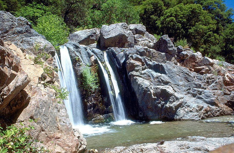
| Description | English: A waterfall on the South Fork Yuba River in South Yuba River State Park in Nevada County, California, United States | |||
| Date | ||||
| Source | U.S. Army Corps of Engineers Digital Visual Library Image page Image description page Digital Visual Library home page | |||
| Author | Michael Nevins, U.S. Army Corps of Engineers | |||
| Permission (Reusing this file) |
|
| Camera location | | View this and other nearby images on: OpenStreetMap |
|---|
File history
Click on a date/time to view the file as it appeared at that time.
| Date/Time | Thumbnail | Dimensions | User | Comment | |
|---|---|---|---|---|---|
| current | 05:01, 5 May 2007 | | 1,500 × 987 (793 KB) | DanMS | {{Information | Description = {{en|A waterfall on the South Fork Yuba River in South Yuba River State Park in Nevada County, California, USA.}} Coordinates: {{Coor dms|39|17|33.91|N|121|11|43.17|W|type:city|display=inline}} | Source = U.S. Arm |
File usage
The following pages on the English Wikipedia use this file (pages on other projects are not listed):
Global file usage
The following other wikis use this file:
- Usage on ceb.wikipedia.org
- Usage on de.wikipedia.org
- Usage on en.wikivoyage.org
- Usage on et.wikipedia.org
- Usage on fr.wikipedia.org
- Usage on ja.wikipedia.org
- Usage on ru.wikipedia.org
- Usage on www.wikidata.org