Geomorphology - Simple English Wikipedia, the free encyclopedia

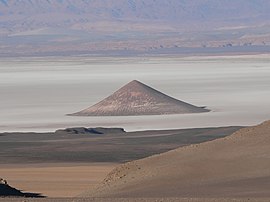
Geomorphology [1] is the scientific study of landforms and the processes that shape them.
More broadly, it studies the evolution of the topography of a planet. Geomorphologists seek to understand why landscapes look the way they do, to understand landform history and dynamics, and to predict future changes. They use a combination of field observation, physical experiment, and numerical modeling.
Geomorphology is part of geography, geology, geodesy, engineering geology and archaeology. This range of interests leads to a wide variety of research styles and interests in the field.
References[change | change source]


 French
 Deutsch